Footbridge
Introduction
The photograph on this page of Footbridge by Anne Burgess as part of the Geograph project.
The Geograph project started in 2005 with the aim of publishing, organising and preserving representative images for every square kilometre of Great Britain, Ireland and the Isle of Man.

There are currently over 7.5m images from over 14,400 individuals and you can help contribute to the project by visiting https://www.geograph.org.uk
Footbridge
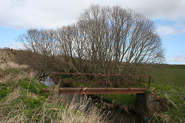
Image: © Anne Burgess Taken: 1 May 2013
The bridge is still in good repair, though the tracks leading to and from it in both directions are so overgrown that it's not obvious where they actually went. In Victorian times there was a ford at this point, and a footbridge a few metres downstream.
Images are licensed for reuse under creativecommons.org/licenses/by-sa/2.0
Image Location
Latitude
57.598417
Longitude
-2.454721