Burn of King Edward
Introduction
The photograph on this page of Burn of King Edward by Anne Burgess as part of the Geograph project.
The Geograph project started in 2005 with the aim of publishing, organising and preserving representative images for every square kilometre of Great Britain, Ireland and the Isle of Man.

There are currently over 7.5m images from over 14,400 individuals and you can help contribute to the project by visiting https://www.geograph.org.uk
Burn of King Edward
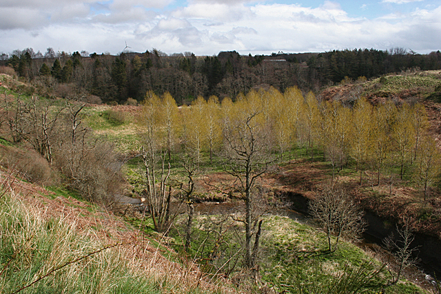
Image: © Anne Burgess Taken: 1 May 2013
The burn has carved a meandering course in the bottom of a glacial meltwater channel. On the far bank, the leaves are just appearing on a plantation of broadleaved trees.
Images are licensed for reuse under creativecommons.org/licenses/by-sa/2.0
Image Location
Latitude
57.595606
Longitude
-2.462047