East Anstey station (site/remains), 1995
Introduction
The photograph on this page of East Anstey station (site/remains), 1995 by Ben Brooksbank as part of the Geograph project.
The Geograph project started in 2005 with the aim of publishing, organising and preserving representative images for every square kilometre of Great Britain, Ireland and the Isle of Man.

There are currently over 7.5m images from over 14,400 individuals and you can help contribute to the project by visiting https://www.geograph.org.uk
East Anstey station (site/remains), 1995
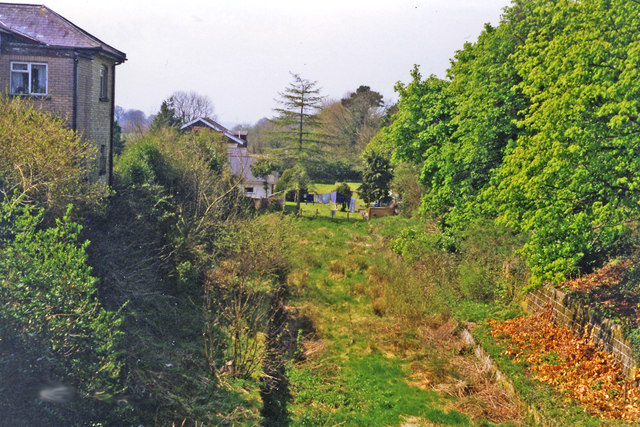
Image: © Ben Brooksbank Taken: 25 Apr 1995
View westward, towards Barnstaple: ex-GWR Taunton - Barnstaple line. The station was closed with the whole line (Norton Fitzwarren - Barnstaple) 3/10/66.
Images are licensed for reuse under creativecommons.org/licenses/by-sa/2.0
Image Location


Leaflet Map data © OpenStreetMap
Latitude
51.023635
Longitude
-3.615141