Flooded Gravel Pit
Introduction
The photograph on this page of Flooded Gravel Pit by Paul Franks as part of the Geograph project.
The Geograph project started in 2005 with the aim of publishing, organising and preserving representative images for every square kilometre of Great Britain, Ireland and the Isle of Man.

There are currently over 7.5m images from over 14,400 individuals and you can help contribute to the project by visiting https://www.geograph.org.uk
Flooded Gravel Pit
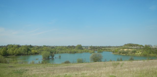
Image: © Paul Franks Taken: 3 May 2013
Known by the local angling club as 'Tufnell Mere', it contains a large head of carp as well as other fish. The water level of this pit has fluctuated greatly over the years, and is currently much higher than normal, as can be seen by the semi-submerged willow trees at the far end of the pit.
Images are licensed for reuse under creativecommons.org/licenses/by-sa/2.0
Image Location
Latitude
51.778716
Longitude
0.444178