Wealden Landscape from Westbrook Lane
Introduction
The photograph on this page of Wealden Landscape from Westbrook Lane by Simon Carey as part of the Geograph project.
The Geograph project started in 2005 with the aim of publishing, organising and preserving representative images for every square kilometre of Great Britain, Ireland and the Isle of Man.

There are currently over 7.5m images from over 14,400 individuals and you can help contribute to the project by visiting https://www.geograph.org.uk
Wealden Landscape from Westbrook Lane
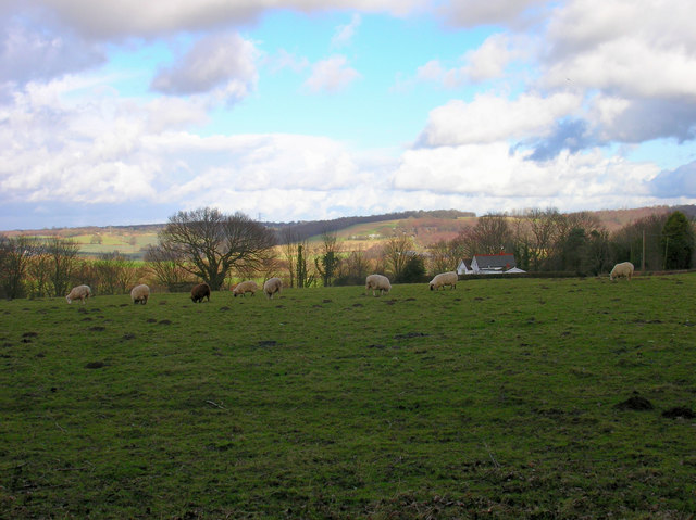
Image: © Simon Carey Taken: 21 Feb 2007
The white house to the right is Hillside, the far view is the rising northern portion of the Brede river valley.
Images are licensed for reuse under creativecommons.org/licenses/by-sa/2.0
Image Location
Latitude
50.918808
Longitude
0.575695