View over farmland to Moray Firth
Introduction
The photograph on this page of View over farmland to Moray Firth by Lynette and Malcolm Johnson as part of the Geograph project.
The Geograph project started in 2005 with the aim of publishing, organising and preserving representative images for every square kilometre of Great Britain, Ireland and the Isle of Man.

There are currently over 7.5m images from over 14,400 individuals and you can help contribute to the project by visiting https://www.geograph.org.uk
View over farmland to Moray Firth
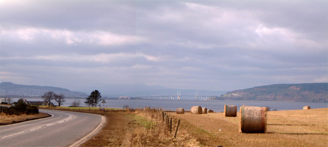
Image: © Lynette and Malcolm Johnson Taken: 5 Feb 2006
The bridge in the distance crosses the Moray Firth to link Inverness with the Black Isle, the landmass seen on the right
Images are licensed for reuse under creativecommons.org/licenses/by-sa/2.0
Image Location
Latitude
57.501657
Longitude
-4.141363