Croston war memorial and the junction of Grape Lane
Introduction
The photograph on this page of Croston war memorial and the junction of Grape Lane by Bill Boaden as part of the Geograph project.
The Geograph project started in 2005 with the aim of publishing, organising and preserving representative images for every square kilometre of Great Britain, Ireland and the Isle of Man.

There are currently over 7.5m images from over 14,400 individuals and you can help contribute to the project by visiting https://www.geograph.org.uk
Croston war memorial and the junction of Grape Lane
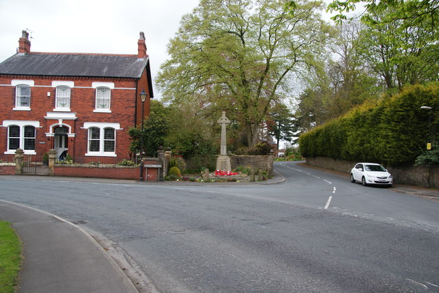
Image: © Bill Boaden Taken: 4 May 2013
Situated at the south eastern end of the village, opposite the Rectory gates.
Images are licensed for reuse under creativecommons.org/licenses/by-sa/2.0
Image Location
Latitude
53.660052
Longitude
-2.770953