Silverstream Banks, Greenisland (2013-2)
Introduction
The photograph on this page of Silverstream Banks, Greenisland (2013-2) by Albert Bridge as part of the Geograph project.
The Geograph project started in 2005 with the aim of publishing, organising and preserving representative images for every square kilometre of Great Britain, Ireland and the Isle of Man.

There are currently over 7.5m images from over 14,400 individuals and you can help contribute to the project by visiting https://www.geograph.org.uk
Silverstream Banks, Greenisland (2013-2)
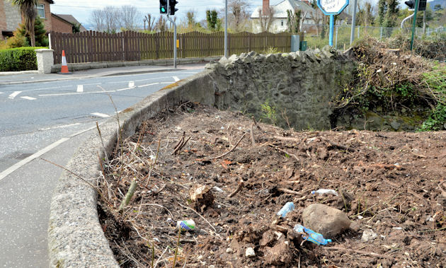
Image: © Albert Bridge Taken: 4 May 2013
Silverstream Banks, at the corner of the Shore Road where roadside vegetation has been removed. The area is on the right in Image The photograph also shows the bridge where the Silverstream passes under the road.
Images are licensed for reuse under creativecommons.org/licenses/by-sa/2.0
Image Location
Latitude
54.686207
Longitude
-5.874372