Colwick Woods revealed
Introduction
The photograph on this page of Colwick Woods revealed by John Sutton as part of the Geograph project.
The Geograph project started in 2005 with the aim of publishing, organising and preserving representative images for every square kilometre of Great Britain, Ireland and the Isle of Man.

There are currently over 7.5m images from over 14,400 individuals and you can help contribute to the project by visiting https://www.geograph.org.uk
Colwick Woods revealed
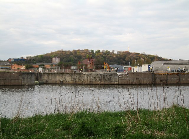
Image: © John Sutton Taken: 1 May 2013
The demolition of the derelict Nottingham Corporation warehouses at Trent Basin has opened up a view of Colwick Woods from the right bank of the river - for the first time since 1930. For comparison, see Tim Heaton's Image], taken from more or less the same spot in June 2008.
Images are licensed for reuse under creativecommons.org/licenses/by-sa/2.0
Image Location
Latitude
52.943455
Longitude
-1.124801