Industrial units, River Wey navigation
Introduction
The photograph on this page of Industrial units, River Wey navigation by Alan Hunt as part of the Geograph project.
The Geograph project started in 2005 with the aim of publishing, organising and preserving representative images for every square kilometre of Great Britain, Ireland and the Isle of Man.

There are currently over 7.5m images from over 14,400 individuals and you can help contribute to the project by visiting https://www.geograph.org.uk
Industrial units, River Wey navigation
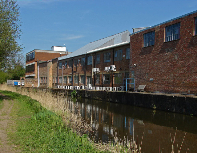
Image: © Alan Hunt Taken: 2 May 2013
The rear of the industrial units on Tannery Lane backing onto the River Wey Navigation. These units date from the 1960s and occupy the site of the tannery which gives the road its name.
Images are licensed for reuse under creativecommons.org/licenses/by-sa/2.0
Image Location
Latitude
51.29662
Longitude
-0.524798