Centre of St Teath
Introduction
The photograph on this page of Centre of St Teath by John Baker as part of the Geograph project.
The Geograph project started in 2005 with the aim of publishing, organising and preserving representative images for every square kilometre of Great Britain, Ireland and the Isle of Man.

There are currently over 7.5m images from over 14,400 individuals and you can help contribute to the project by visiting https://www.geograph.org.uk
Centre of St Teath
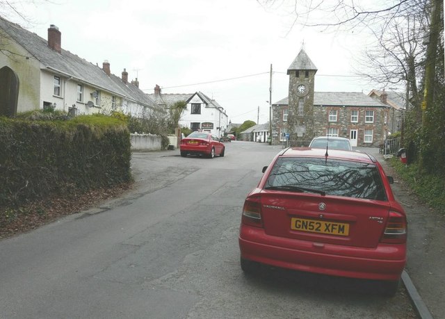
Image: © John Baker Taken: 28 Mar 2013
The clock tower is a memorial to those who died during the First World War. The name of the village is pronounced to rhyme with death.
Images are licensed for reuse under creativecommons.org/licenses/by-sa/2.0
Image Location
Latitude
50.59321
Longitude
-4.736805