No Man's Land junction
Introduction
The photograph on this page of No Man's Land junction by David Smith as part of the Geograph project.
The Geograph project started in 2005 with the aim of publishing, organising and preserving representative images for every square kilometre of Great Britain, Ireland and the Isle of Man.

There are currently over 7.5m images from over 14,400 individuals and you can help contribute to the project by visiting https://www.geograph.org.uk
No Man's Land junction
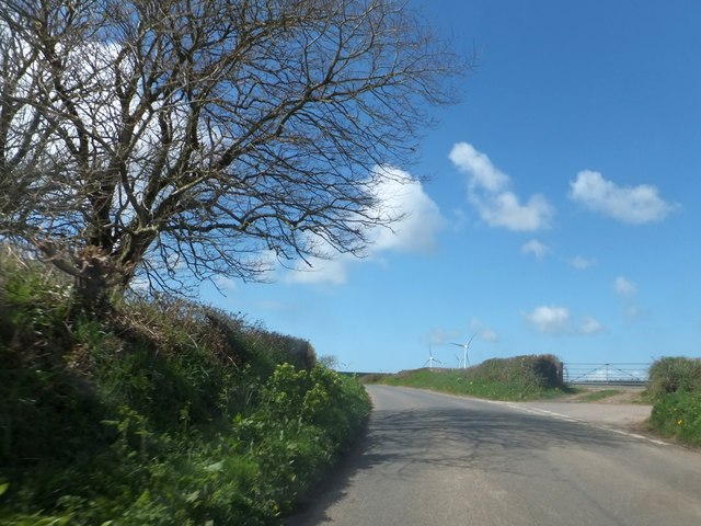
Image: © David Smith Taken: 26 Apr 2013
On the right is Whiddon Lane; the hilltop beyond is the site of several wind turbines
Images are licensed for reuse under creativecommons.org/licenses/by-sa/2.0
Image Location
Latitude
51.124282
Longitude
-4.075519