Bush Hill, Pembroke
Introduction
The photograph on this page of Bush Hill, Pembroke by Simon Mortimer as part of the Geograph project.
The Geograph project started in 2005 with the aim of publishing, organising and preserving representative images for every square kilometre of Great Britain, Ireland and the Isle of Man.

There are currently over 7.5m images from over 14,400 individuals and you can help contribute to the project by visiting https://www.geograph.org.uk
Bush Hill, Pembroke
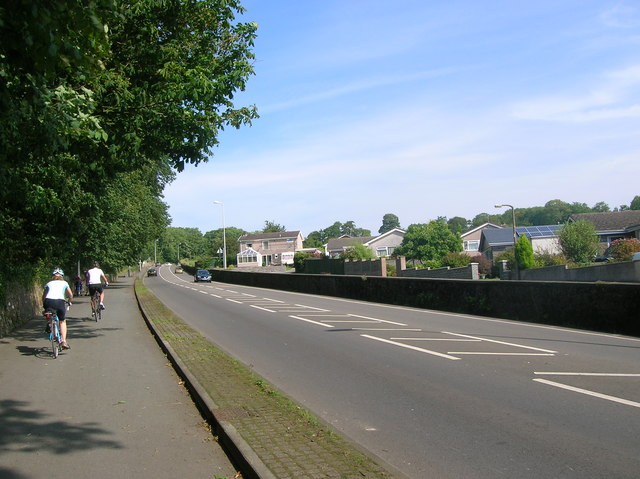
Image: © Simon Mortimer Taken: 11 Aug 2012
Looking north opposite Whitehall Drive. National Cycle Network Route 4 runs parallel to the road here.
Images are licensed for reuse under creativecommons.org/licenses/by-sa/2.0
Image Location
Latitude
51.681945
Longitude
-4.9202