Road junction Chwilog
Introduction
The photograph on this page of Road junction Chwilog by Alan Fryer as part of the Geograph project.
The Geograph project started in 2005 with the aim of publishing, organising and preserving representative images for every square kilometre of Great Britain, Ireland and the Isle of Man.

There are currently over 7.5m images from over 14,400 individuals and you can help contribute to the project by visiting https://www.geograph.org.uk
Road junction Chwilog
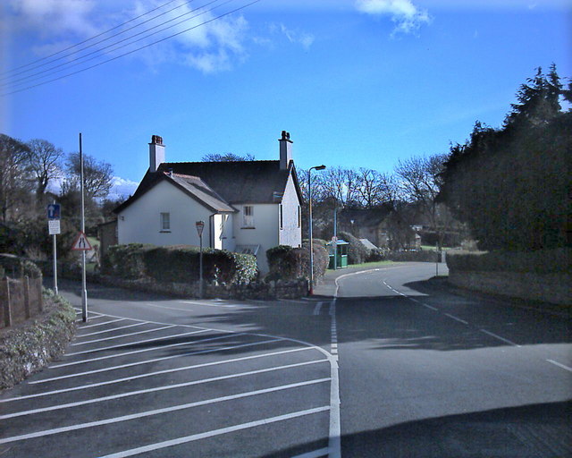
Image: © Alan Fryer Taken: 21 Feb 2007
The B4354 towards Criccieth is on the left. The road on the right runs to Afonwen. Both run to the A497.
Images are licensed for reuse under creativecommons.org/licenses/by-sa/2.0
Image Location
Latitude
52.919352
Longitude
-4.32875