Surrey Wildlife Trust meadow
Introduction
The photograph on this page of Surrey Wildlife Trust meadow by Alan Hunt as part of the Geograph project.
The Geograph project started in 2005 with the aim of publishing, organising and preserving representative images for every square kilometre of Great Britain, Ireland and the Isle of Man.

There are currently over 7.5m images from over 14,400 individuals and you can help contribute to the project by visiting https://www.geograph.org.uk
Surrey Wildlife Trust meadow
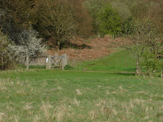
Image: © Alan Hunt Taken: 1 May 2013
The meadow used by the Wildlife Trust for cattle grazing with the gate to Wisley Common on the left. I only noticed the sprinting rabbit near the gate when I was checking the photo on the computer!
Images are licensed for reuse under creativecommons.org/licenses/by-sa/2.0
Image Location
Latitude
51.310459
Longitude
-0.454337