Old Malden Lane
Introduction
The photograph on this page of Old Malden Lane by Marathon as part of the Geograph project.
The Geograph project started in 2005 with the aim of publishing, organising and preserving representative images for every square kilometre of Great Britain, Ireland and the Isle of Man.

There are currently over 7.5m images from over 14,400 individuals and you can help contribute to the project by visiting https://www.geograph.org.uk
Old Malden Lane
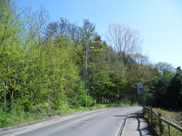
Image: © Marathon Taken: 1 May 2013
Old Malden Lane here runs alongside Old Malden Common on the left. Just round the corner it passes from the Royal Borough of Kingston into the County of Surrey. Until the early 20th century, Old Malden Common used to extend across a considerably larger area to the east but most of this is now built over. Much of the old grassland has turned into scrub and woodland.
Images are licensed for reuse under creativecommons.org/licenses/by-sa/2.0
Image Location
Latitude
51.379319
Longitude
-0.260329