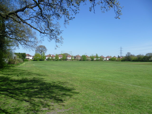
Manor Park Recreation Ground
Introduction
The photograph on this page of Manor Park Recreation Ground by Marathon as part of the Geograph project.
The Geograph project started in 2005 with the aim of publishing, organising and preserving representative images for every square kilometre of Great Britain, Ireland and the Isle of Man.
There are currently over 7.5m images from over 14,400 individuals and you can help contribute to the project by visiting https://www.geograph.org.uk

Image: © Marathon Taken: 1 May 2013
Much of Manor Park Recreation Ground consists of playing fields, surrounded by the remains of old hedgerows, indicating their past agricultural use. In 1839 they were shown as arable fields. The houses in the distance here are in Portland Avenue and beyond can be seen the gasholders at Motspur Park next to Sir Joseph Hood Wood.

