The lane to Chesters, near Belford
Introduction
The photograph on this page of The lane to Chesters, near Belford by Graham Robson as part of the Geograph project.
The Geograph project started in 2005 with the aim of publishing, organising and preserving representative images for every square kilometre of Great Britain, Ireland and the Isle of Man.

There are currently over 7.5m images from over 14,400 individuals and you can help contribute to the project by visiting https://www.geograph.org.uk
The lane to Chesters, near Belford
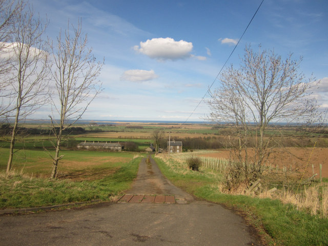
Image: © Graham Robson Taken: 24 Apr 2013
Looking down private farm lane leading to the houses at Chesters. The entire row of terraced houses on the left is boarded up. A large number of trees have been planted on the margin between the field on the right and the lane.
Images are licensed for reuse under creativecommons.org/licenses/by-sa/2.0
Image Location
Latitude
55.607504
Longitude
-1.833149