Looking down North Bank out of Belford
Introduction
The photograph on this page of Looking down North Bank out of Belford by Graham Robson as part of the Geograph project.
The Geograph project started in 2005 with the aim of publishing, organising and preserving representative images for every square kilometre of Great Britain, Ireland and the Isle of Man.

There are currently over 7.5m images from over 14,400 individuals and you can help contribute to the project by visiting https://www.geograph.org.uk
Looking down North Bank out of Belford
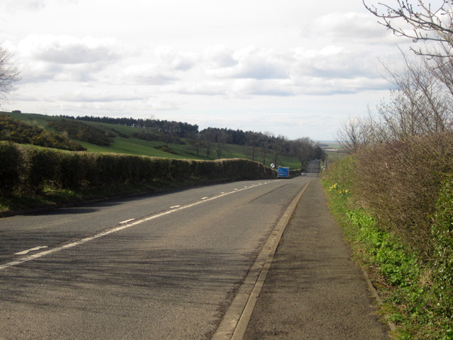
Image: © Graham Robson Taken: 24 Apr 2013
Looking north down North Bank out of Belford. The road was formerly the A1 before the bypass was built to the east of the village in the early 1980s.
Images are licensed for reuse under creativecommons.org/licenses/by-sa/2.0
Image Location


Leaflet Map data © OpenStreetMap
Latitude
55.604087
Longitude
-1.831417