Pury End
Introduction
The photograph on this page of Pury End by Ian Rob as part of the Geograph project.
The Geograph project started in 2005 with the aim of publishing, organising and preserving representative images for every square kilometre of Great Britain, Ireland and the Isle of Man.

There are currently over 7.5m images from over 14,400 individuals and you can help contribute to the project by visiting https://www.geograph.org.uk
Pury End
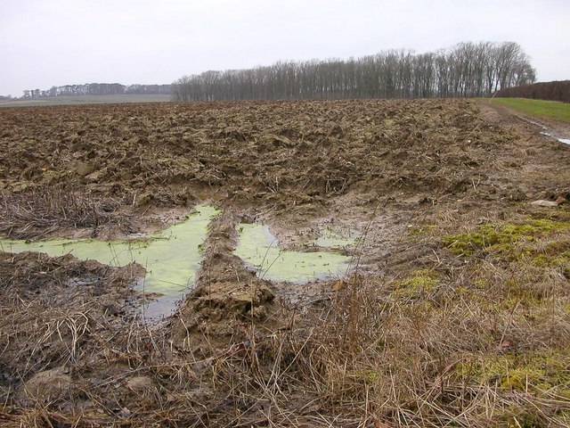
Image: © Ian Rob Taken: 20 Feb 2007
Waterlogged field looking towards Fox Covert.
Images are licensed for reuse under creativecommons.org/licenses/by-sa/2.0
Image Location
Latitude
52.11234
Longitude
-0.971912