Mansfield Woodhouse NG19, Notts.
Introduction
The photograph on this page of Mansfield Woodhouse NG19, Notts. by David Hallam-Jones as part of the Geograph project.
The Geograph project started in 2005 with the aim of publishing, organising and preserving representative images for every square kilometre of Great Britain, Ireland and the Isle of Man.

There are currently over 7.5m images from over 14,400 individuals and you can help contribute to the project by visiting https://www.geograph.org.uk
Mansfield Woodhouse NG19, Notts.
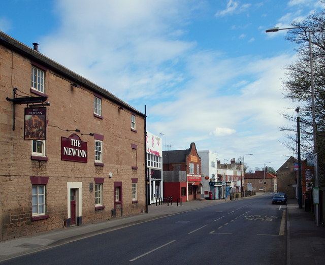
Image: © David Hallam-Jones Taken: 28 Apr 2013
Looking along Station Street in the direction of High Street. The railway station sits two minutes away behind the photographer.
Images are licensed for reuse under creativecommons.org/licenses/by-sa/2.0
Image Location
Latitude
53.163315
Longitude
-1.198562