Emms Hill Drift
Introduction
The photograph on this page of Emms Hill Drift by Hugh Mortimer as part of the Geograph project.
The Geograph project started in 2005 with the aim of publishing, organising and preserving representative images for every square kilometre of Great Britain, Ireland and the Isle of Man.

There are currently over 7.5m images from over 14,400 individuals and you can help contribute to the project by visiting https://www.geograph.org.uk
Emms Hill Drift
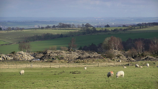
Image: © Hugh Mortimer Taken: 18 Feb 2007
This Drift Mine was worked from the 1940's (Butterknowle Marsfield Collieries Ltd), abandoned March 1950. The remaining building at the entrance, was part of a coal washing plant. Along with nearby Woodland and Crake Scar Collieries, employed over 200 men and boys. The output was mostly converted into coke, for the furnaces of the industrial north.
Images are licensed for reuse under creativecommons.org/licenses/by-sa/2.0
Image Location


Leaflet Map data © OpenStreetMap
Latitude
54.652944
Longitude
-1.84808