Windsor Common
Introduction
The photograph on this page of Windsor Common by Simon Carey as part of the Geograph project.
The Geograph project started in 2005 with the aim of publishing, organising and preserving representative images for every square kilometre of Great Britain, Ireland and the Isle of Man.

There are currently over 7.5m images from over 14,400 individuals and you can help contribute to the project by visiting https://www.geograph.org.uk
Windsor Common
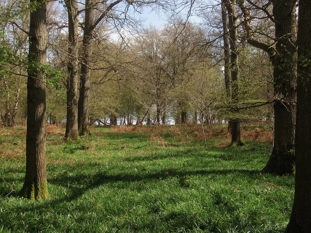
Image: © Simon Carey Taken: 28 Apr 2013
Spring is approaching judging by the ground in the wood. Viewed from Honeybridge Lane.
Images are licensed for reuse under creativecommons.org/licenses/by-sa/2.0
Image Location
Latitude
50.948215
Longitude
-0.354345