The village of Silverbridge viewed from the Carrive Road
Introduction
The photograph on this page of The village of Silverbridge viewed from the Carrive Road by Eric Jones as part of the Geograph project.
The Geograph project started in 2005 with the aim of publishing, organising and preserving representative images for every square kilometre of Great Britain, Ireland and the Isle of Man.

There are currently over 7.5m images from over 14,400 individuals and you can help contribute to the project by visiting https://www.geograph.org.uk
The village of Silverbridge viewed from the Carrive Road
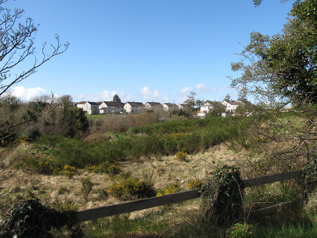
Image: © Eric Jones Taken: 30 Apr 2013
Village and road are separated by the incised valley of the Cully Water. The village which is situated off the B30 (Newry/Crossmaglen) Road, has a population of some 160 people.
Images are licensed for reuse under creativecommons.org/licenses/by-sa/2.0
Image Location
Latitude
54.099597
Longitude
-6.5261