Drive to Pool Lane Cottage
Introduction
The photograph on this page of Drive to Pool Lane Cottage by Philip Halling as part of the Geograph project.
The Geograph project started in 2005 with the aim of publishing, organising and preserving representative images for every square kilometre of Great Britain, Ireland and the Isle of Man.

There are currently over 7.5m images from over 14,400 individuals and you can help contribute to the project by visiting https://www.geograph.org.uk
Drive to Pool Lane Cottage
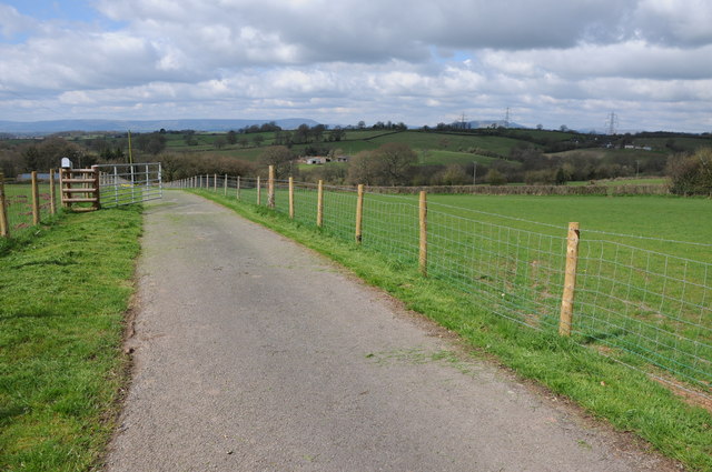
Image: © Philip Halling Taken: 27 Apr 2013
Drive to Pool Lane Cottage with the view beyond to Blorenge and to the right Skirrid and just visible to distinctive shape of Sugar Loaf to the far right.
Images are licensed for reuse under creativecommons.org/licenses/by-sa/2.0
Image Location
Latitude
51.856105
Longitude
-2.807249