Bishopton
Introduction
The photograph on this page of Bishopton by wfmillar as part of the Geograph project.
The Geograph project started in 2005 with the aim of publishing, organising and preserving representative images for every square kilometre of Great Britain, Ireland and the Isle of Man.

There are currently over 7.5m images from over 14,400 individuals and you can help contribute to the project by visiting https://www.geograph.org.uk
Bishopton
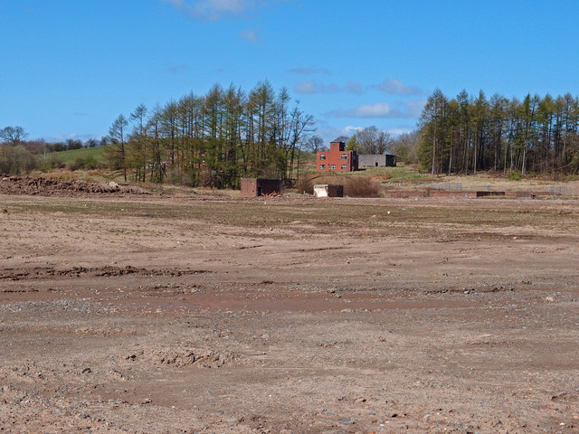
Image: © wfmillar Taken: 30 Apr 2013
Some areas are still restricted at the former site of Royal Ordnance Factory at Bishopton. View through the fence showing some of the remaining buildings.
Images are licensed for reuse under creativecommons.org/licenses/by-sa/2.0
Image Location
Latitude
55.904992
Longitude
-4.516966