The Orange Way in Wiltshire (149)
Introduction
The photograph on this page of The Orange Way in Wiltshire (149) by Shazz as part of the Geograph project.
The Geograph project started in 2005 with the aim of publishing, organising and preserving representative images for every square kilometre of Great Britain, Ireland and the Isle of Man.

There are currently over 7.5m images from over 14,400 individuals and you can help contribute to the project by visiting https://www.geograph.org.uk
The Orange Way in Wiltshire (149)
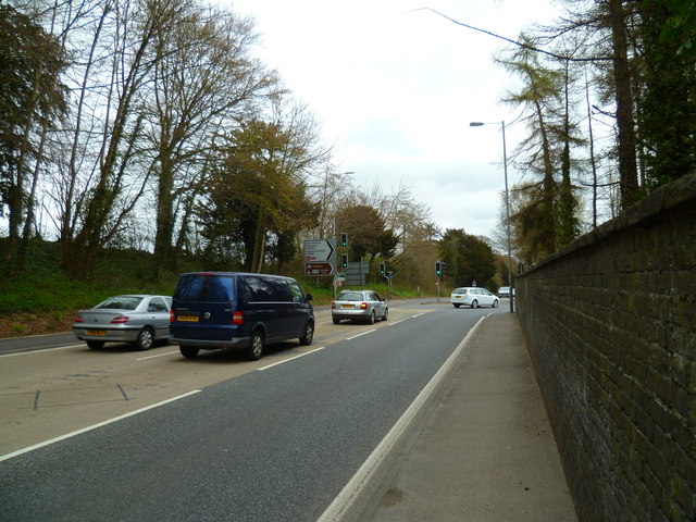
Image: © Shazz Taken: 22 Apr 2013
After about half a mile of miserable walking along the A36(T) the Orange Way escapes to the right along the A3094 ahead.
Images are licensed for reuse under creativecommons.org/licenses/by-sa/2.0
Image Location
Latitude
51.080831
Longitude
-1.847486