Beggars Lane
Introduction
The photograph on this page of Beggars Lane by Ian Capper as part of the Geograph project.
The Geograph project started in 2005 with the aim of publishing, organising and preserving representative images for every square kilometre of Great Britain, Ireland and the Isle of Man.

There are currently over 7.5m images from over 14,400 individuals and you can help contribute to the project by visiting https://www.geograph.org.uk
Beggars Lane
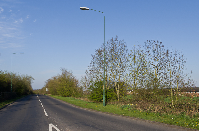
Image: © Ian Capper Taken: 25 Apr 2013
Old maps show Beggars Lane to have been a winding country lane running from Force Green Farm, to the north of here, down towards the A25 to the east of Westerham. It has since been diverted further south and widened, and now serves as a east - north bypass for Westerham.
Images are licensed for reuse under creativecommons.org/licenses/by-sa/2.0
Image Location
Latitude
51.275269
Longitude
0.075493