Looking across Ffridd Gel towards the Pentre Helen Estate
Introduction
The photograph on this page of Looking across Ffridd Gel towards the Pentre Helen Estate by Eric Jones as part of the Geograph project.
The Geograph project started in 2005 with the aim of publishing, organising and preserving representative images for every square kilometre of Great Britain, Ireland and the Isle of Man.

There are currently over 7.5m images from over 14,400 individuals and you can help contribute to the project by visiting https://www.geograph.org.uk
Looking across Ffridd Gel towards the Pentre Helen Estate
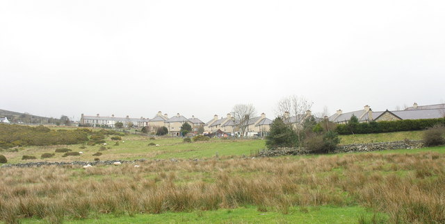
Image: © Eric Jones Taken: 17 Feb 2007
Ffridd Gel, an area of rough grazing, was where touring circuses used to set up camp in the 1950s and early 60s. The stone wall marks the line of the 1824 Dinorwig Quarry tramway which preceded the Padarn Railway. The Pentre Helen Council estate beyond was built shortly before World War II and physically united the then separate villages of Deiniolen and Clwt y bont.
Images are licensed for reuse under creativecommons.org/licenses/by-sa/2.0
Image Location
Latitude
53.147096
Longitude
-4.132146