Hatfield Road
Introduction
The photograph on this page of Hatfield Road by Ian Capper as part of the Geograph project.
The Geograph project started in 2005 with the aim of publishing, organising and preserving representative images for every square kilometre of Great Britain, Ireland and the Isle of Man.

There are currently over 7.5m images from over 14,400 individuals and you can help contribute to the project by visiting https://www.geograph.org.uk
Hatfield Road
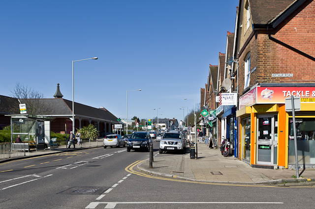
Image: © Ian Capper Taken: 20 Apr 2013
Hatfield Road in the Fleetville area of St Albans. On the left is Morrison's Supermarket, built on the site of what was from the 1920s to 1967 the works of Ballito Hosiery and then for a while a factory of Marconi Instruments, eventually part of the electrical and engineering conglomerate GEC.
Images are licensed for reuse under creativecommons.org/licenses/by-sa/2.0
Image Location
Latitude
51.751963
Longitude
-0.311098