Little Burstead Village Hall
Introduction
The photograph on this page of Little Burstead Village Hall by Robin Webster as part of the Geograph project.
The Geograph project started in 2005 with the aim of publishing, organising and preserving representative images for every square kilometre of Great Britain, Ireland and the Isle of Man.

There are currently over 7.5m images from over 14,400 individuals and you can help contribute to the project by visiting https://www.geograph.org.uk
Little Burstead Village Hall
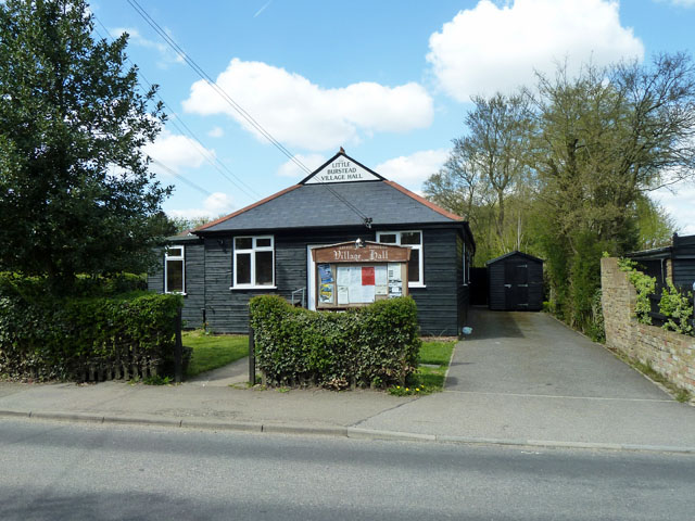
Image: © Robin Webster Taken: 30 Apr 2013
Black boarded, as are some houses to the right on Laindon Common Road.
Images are licensed for reuse under creativecommons.org/licenses/by-sa/2.0
Image Location
Latitude
51.604302
Longitude
0.406925