Montgomery Road, Nether Edge
Introduction
The photograph on this page of Montgomery Road, Nether Edge by Richard Vince as part of the Geograph project.
The Geograph project started in 2005 with the aim of publishing, organising and preserving representative images for every square kilometre of Great Britain, Ireland and the Isle of Man.

There are currently over 7.5m images from over 14,400 individuals and you can help contribute to the project by visiting https://www.geograph.org.uk
Montgomery Road, Nether Edge
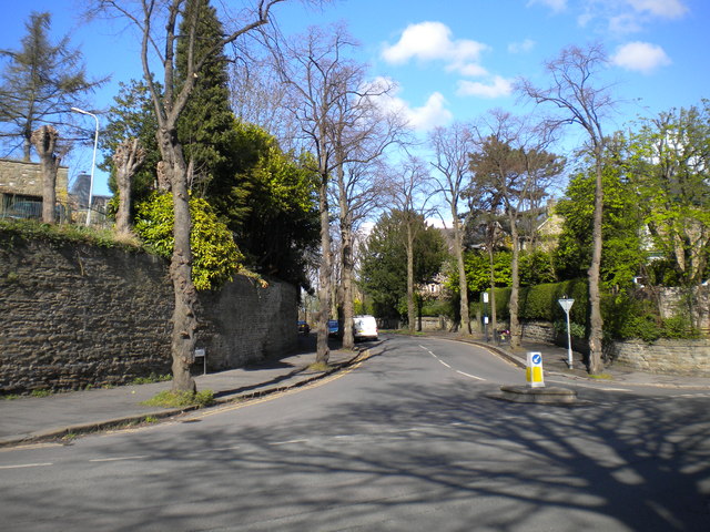
Image: © Richard Vince Taken: 27 Apr 2013
The south western end of Montgomery Road, where it joins Machon Bank Road (foreground).
Images are licensed for reuse under creativecommons.org/licenses/by-sa/2.0
Image Location
Latitude
53.360242
Longitude
-1.488933