Tuns Lane houses, Slough
Introduction
The photograph on this page of Tuns Lane houses, Slough by Jaggery as part of the Geograph project.
The Geograph project started in 2005 with the aim of publishing, organising and preserving representative images for every square kilometre of Great Britain, Ireland and the Isle of Man.

There are currently over 7.5m images from over 14,400 individuals and you can help contribute to the project by visiting https://www.geograph.org.uk
Tuns Lane houses, Slough
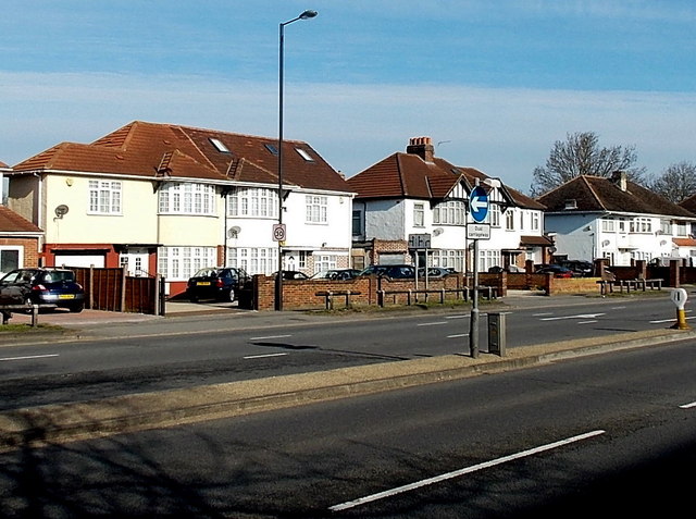
Image: © Jaggery Taken: 28 Apr 2013
The name Tuns Lane has survived long after this dual-carriageway section of the A355 ceased being only a lane. Viewed from near the Beckwell Road junction.
Images are licensed for reuse under creativecommons.org/licenses/by-sa/2.0
Image Location
Latitude
51.510631
Longitude
-0.612862