Mansfield Woodhouse Area NG19, Notts.
Introduction
The photograph on this page of Mansfield Woodhouse Area NG19, Notts. by David Hallam-Jones as part of the Geograph project.
The Geograph project started in 2005 with the aim of publishing, organising and preserving representative images for every square kilometre of Great Britain, Ireland and the Isle of Man.

There are currently over 7.5m images from over 14,400 individuals and you can help contribute to the project by visiting https://www.geograph.org.uk
Mansfield Woodhouse Area NG19, Notts.
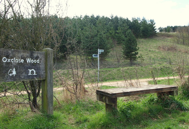
Image: © David Hallam-Jones Taken: 28 Apr 2013
This footpath is part of one of the Mansfield Woodhouse Heritage Trails. Arrival here provides walkers who have come from either the mill ponds area of Pleasley Vale or Woodburn Lane, Pleasley Hill, with a choice of either turning right in order to reach Bull Farm (a suburb) in the vicinity of the A6191 (i.e. Chesterfield Road) or to the left, to reach the village of Mansfield Woodhouse. Oxclose Wood was landscaped on a colliery spoil site that was once part of Mansfield Woodhouse's Sherwood Colliery.
Images are licensed for reuse under creativecommons.org/licenses/by-sa/2.0
Image Location
Latitude
53.166208
Longitude
-1.214664