Ashton Old Road, Openshaw
Introduction
The photograph on this page of Ashton Old Road, Openshaw by Gerald England as part of the Geograph project.
The Geograph project started in 2005 with the aim of publishing, organising and preserving representative images for every square kilometre of Great Britain, Ireland and the Isle of Man.

There are currently over 7.5m images from over 14,400 individuals and you can help contribute to the project by visiting https://www.geograph.org.uk
Ashton Old Road, Openshaw
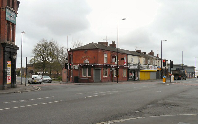
Image: © Gerald England Taken: 29 Apr 2013
The Junction of Ogden Road with Ashton Old Road, the A635 into Manchester. On the left is Screwy Hughies Image (formerly the Halfway House Image). On the right is the Holt's pub The Lord Raglan Image
Images are licensed for reuse under creativecommons.org/licenses/by-sa/2.0
Image Location
Latitude
53.472679
Longitude
-2.164175