Luss Road
Introduction
The photograph on this page of Luss Road by Richard Webb as part of the Geograph project.
The Geograph project started in 2005 with the aim of publishing, organising and preserving representative images for every square kilometre of Great Britain, Ireland and the Isle of Man.

There are currently over 7.5m images from over 14,400 individuals and you can help contribute to the project by visiting https://www.geograph.org.uk
Luss Road
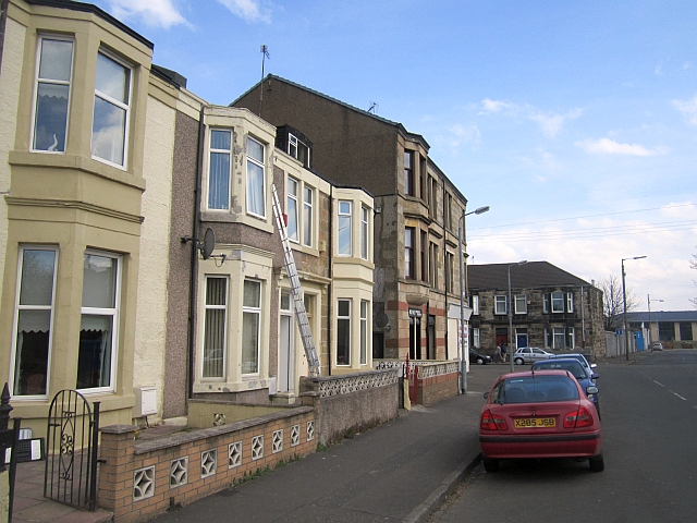
Image: © Richard Webb Taken: 9 Apr 2013
The site was shown as agricultural land on the first edition 6" map (mid 19th century) and by 1890 was an industrial area.
Images are licensed for reuse under creativecommons.org/licenses/by-sa/2.0
Image Location
Latitude
55.856682
Longitude
-4.322724