Boundary of Tiptree Parish Field and Park Lane
Introduction
The photograph on this page of Boundary of Tiptree Parish Field and Park Lane by Roger Jones as part of the Geograph project.
The Geograph project started in 2005 with the aim of publishing, organising and preserving representative images for every square kilometre of Great Britain, Ireland and the Isle of Man.

There are currently over 7.5m images from over 14,400 individuals and you can help contribute to the project by visiting https://www.geograph.org.uk
Boundary of Tiptree Parish Field and Park Lane
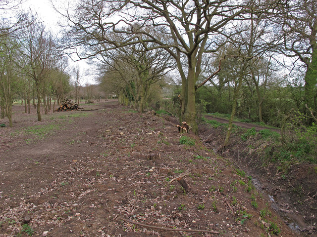
Image: © Roger Jones Taken: 28 Apr 2013
Park Lane (on the right) is an ancient highway which connects the two villages of Tolleshunt Knights and Tiptree. A ditch runs between the boundary of Tiptree Parish Field and the lane. Note the evidence of recent clearing of the scrub and secondary woodland to encourage the heath plants to flourish.
Images are licensed for reuse under creativecommons.org/licenses/by-sa/2.0
Image Location
Latitude
51.809759
Longitude
0.769058