Pleasley NG19, Near Mansfield Notts.
Introduction
The photograph on this page of Pleasley NG19, Near Mansfield Notts. by David Hallam-Jones as part of the Geograph project.
The Geograph project started in 2005 with the aim of publishing, organising and preserving representative images for every square kilometre of Great Britain, Ireland and the Isle of Man.

There are currently over 7.5m images from over 14,400 individuals and you can help contribute to the project by visiting https://www.geograph.org.uk
Pleasley NG19, Near Mansfield Notts.
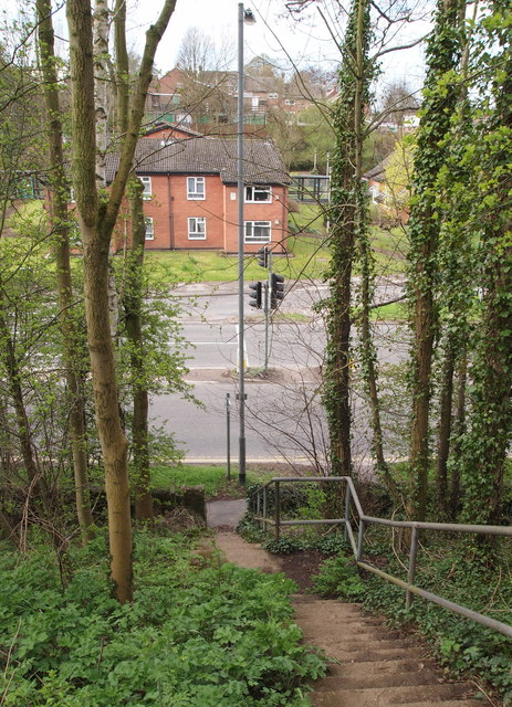
Image: © David Hallam-Jones Taken: 28 Apr 2013
The 'old' Chesterfield Road can be seen branching off the A617 (Chesterfield Road North) at the foot of this flight of steps. Behind the photographer an unmade footpath continues to the top of this bank and joins the start (or end) of a footpath that obliquely crosses a ploughed field and to link with a track that connects the Pleasley end of Woburn Lane, Pleasley Hill with a private residence called Radmanthwaite Cottage situated at the termination of this lane. The word Radmanthwaite seems to be derived from two words, a radman being a tenant who owed his lord the duty of an armed escort + thwaite being a clearing in a wood or land reclaimed for arable purposes.
Images are licensed for reuse under creativecommons.org/licenses/by-sa/2.0
Image Location
Latitude
53.172952
Longitude
-1.242666