Glasgow to Paisley Railway
Introduction
The photograph on this page of Glasgow to Paisley Railway by Richard Webb as part of the Geograph project.
The Geograph project started in 2005 with the aim of publishing, organising and preserving representative images for every square kilometre of Great Britain, Ireland and the Isle of Man.

There are currently over 7.5m images from over 14,400 individuals and you can help contribute to the project by visiting https://www.geograph.org.uk
Glasgow to Paisley Railway
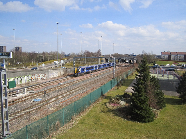
Image: © Richard Webb Taken: 9 Apr 2013
Near Cardonald Station. There is quite a lot of transport infrastructure crammed in here as is evident from the large quantity of blurred photographs submitted by the only in it for the points type contributors. Behind the graffiti wall is a complex junction on the M8 linking the motorway to the Clyde Tunnel. On the right, south of the railway there are towerblocks. Image
Images are licensed for reuse under creativecommons.org/licenses/by-sa/2.0
Image Location
Latitude
55.853051
Longitude
-4.343597