Cottages beside Burnt House level crossing, Cantley
Introduction
The photograph on this page of Cottages beside Burnt House level crossing, Cantley by Evelyn Simak as part of the Geograph project.
The Geograph project started in 2005 with the aim of publishing, organising and preserving representative images for every square kilometre of Great Britain, Ireland and the Isle of Man.

There are currently over 7.5m images from over 14,400 individuals and you can help contribute to the project by visiting https://www.geograph.org.uk
Cottages beside Burnt House level crossing, Cantley
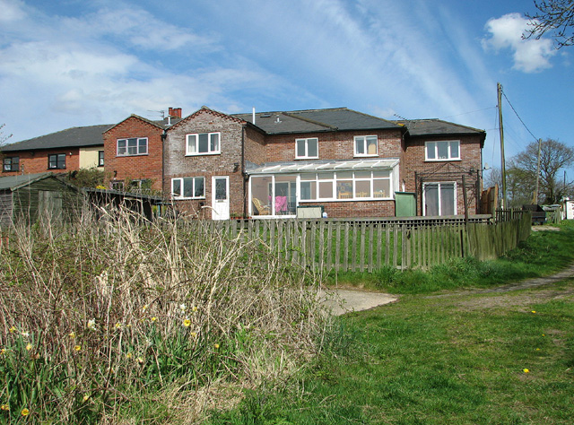
Image: © Evelyn Simak Taken: 28 Apr 2013
One of the cottages is used by the Cantley Sea Scouts.
Images are licensed for reuse under creativecommons.org/licenses/by-sa/2.0
Image Location
Latitude
52.580442
Longitude
1.50779