Pleasley NG19, Near Mansfield, Notts.
Introduction
The photograph on this page of Pleasley NG19, Near Mansfield, Notts. by David Hallam-Jones as part of the Geograph project.
The Geograph project started in 2005 with the aim of publishing, organising and preserving representative images for every square kilometre of Great Britain, Ireland and the Isle of Man.

There are currently over 7.5m images from over 14,400 individuals and you can help contribute to the project by visiting https://www.geograph.org.uk
Pleasley NG19, Near Mansfield, Notts.
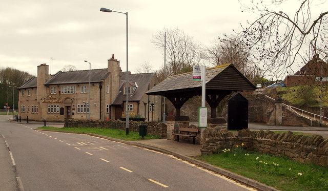
Image: © David Hallam-Jones Taken: 28 Apr 2013
A set of traffic lights in the distance - beyond The White Swan - mark the point where buses travelling towards Chesterfield from the Mansfield direction via the A617 dual-carriageway ("Chesterfield Road North") turn off into this the lower end of Pleasley. This area of Pleasley is known as Meden Square.
Images are licensed for reuse under creativecommons.org/licenses/by-sa/2.0
Image Location
Latitude
53.172786
Longitude
-1.244913