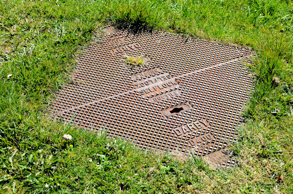
"Darby Selflock" access cover, Whitehead
Introduction
The photograph on this page of "Darby Selflock" access cover, Whitehead by Albert Bridge as part of the Geograph project.
The Geograph project started in 2005 with the aim of publishing, organising and preserving representative images for every square kilometre of Great Britain, Ireland and the Isle of Man.
There are currently over 7.5m images from over 14,400 individuals and you can help contribute to the project by visiting https://www.geograph.org.uk

Image: © Albert Bridge Taken: 27 Apr 2013
A Darby “Selflock” access cover at the Islandmagee Road end of Rasnevyn Drive. My amateur research (which might be completely wrong) suggests that the name originated with Abraham Darby http://en.wikipedia.org/wiki/Abraham_Darby_I and after closure was acquired by Glynwed http://www.geograph.org.uk/search.php?i=41158277 which is now part of the PAM Saint-Gobain Group Image The specification “D400” refers to “access covers and gratings capable of withstanding a 40 tonnes test load. For use in areas where cars and lorries have access, including carriageways, hard shoulders and pedestrian areas”.

