Barnby, Yorkshire: Buildings near Barnby Basin
Introduction
The photograph on this page of Barnby, Yorkshire: Buildings near Barnby Basin by Dr Neil Clifton as part of the Geograph project.
The Geograph project started in 2005 with the aim of publishing, organising and preserving representative images for every square kilometre of Great Britain, Ireland and the Isle of Man.

There are currently over 7.5m images from over 14,400 individuals and you can help contribute to the project by visiting https://www.geograph.org.uk
Barnby, Yorkshire: Buildings near Barnby Basin
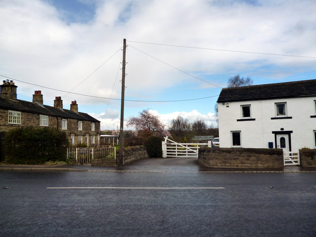
Image: © Dr Neil Clifton Taken: 27 Apr 2013
This photograph was taken from the south side of the A635 looking north towards the site of Barnby Basin (also known as Cawthorne Basin), which was the southern terminal of the Barnsley Canal. The basin, together with the section of the canal from Barugh, became disused about 1902, having once been a busy spot where coal and lime were transferred from horse-drawn waggons, (small rail-bound vehicles) to waiting boats. There was also a public house here, called the 'Jolly Sailor'.
Images are licensed for reuse under creativecommons.org/licenses/by-sa/2.0
Image Location
Latitude
53.568287
Longitude
-1.545922