Donnington Wood canal and a pool
Introduction
The photograph on this page of Donnington Wood canal and a pool by Richard Law as part of the Geograph project.
The Geograph project started in 2005 with the aim of publishing, organising and preserving representative images for every square kilometre of Great Britain, Ireland and the Isle of Man.

There are currently over 7.5m images from over 14,400 individuals and you can help contribute to the project by visiting https://www.geograph.org.uk
Donnington Wood canal and a pool
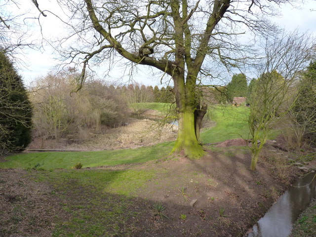
Image: © Richard Law Taken: 4 Apr 2013
One of the few places where there's much visible remnant of the Donnington Wood canal - the water course in the bottom right of this shot. It was built to carry coal from the mines at Donnington Wood to a roadside wharf at Pave Lane. The large pool to the left is rapidly infilling with reeds and other vegetation.
Images are licensed for reuse under creativecommons.org/licenses/by-sa/2.0
Image Location
Latitude
52.744129
Longitude
-2.362431