Wooley, near Slaley
Introduction
The photograph on this page of Wooley, near Slaley by Bill Cresswell as part of the Geograph project.
The Geograph project started in 2005 with the aim of publishing, organising and preserving representative images for every square kilometre of Great Britain, Ireland and the Isle of Man.

There are currently over 7.5m images from over 14,400 individuals and you can help contribute to the project by visiting https://www.geograph.org.uk
Wooley, near Slaley
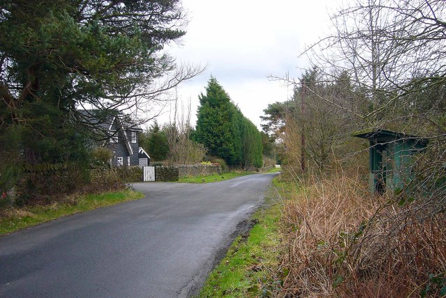
Image: © Bill Cresswell Taken: 19 Feb 2007
This was once the site of a hospital built in 1916 for first world war gas victims, and later became a sanatorium, until its closure in 1976. Some of the characteristic darkwood timberlap buildings survive and have been converted for residential use.
Images are licensed for reuse under creativecommons.org/licenses/by-sa/2.0
Image Location
Latitude
54.930528
Longitude
-2.055836