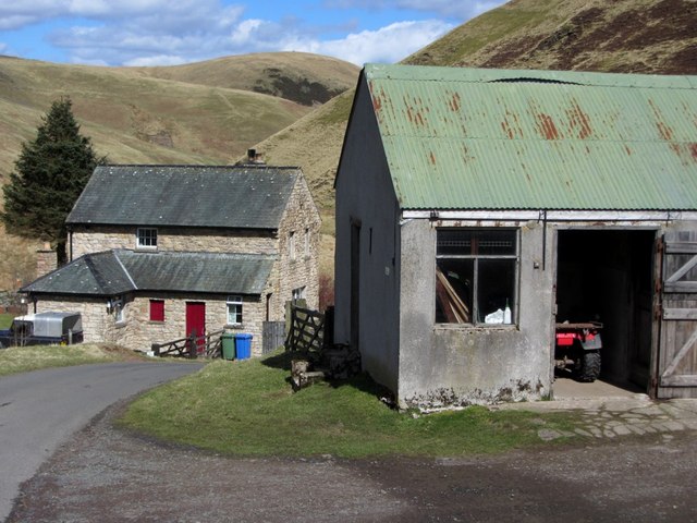
Fulhope, Upper Coquetdale
Introduction
The photograph on this page of Fulhope, Upper Coquetdale by Andrew Curtis as part of the Geograph project.
The Geograph project started in 2005 with the aim of publishing, organising and preserving representative images for every square kilometre of Great Britain, Ireland and the Isle of Man.
There are currently over 7.5m images from over 14,400 individuals and you can help contribute to the project by visiting https://www.geograph.org.uk

Image: © Andrew Curtis Taken: 19 Apr 2013
Fulhope is locally known as 'Philip', as it is shown on the 1866 6" OS Map, along with the 'Philip Burn' which here joins the Coquet. A 1663 account of rates and rents distinguishes 'Fair Phillips' (Halerickburne) from 'Foul Phillips'. The OS Name Book for Alwinton (c1860) records Philip: "A small dwelling house with garden &c. attached. There is no doubt [that] this house derives its name from the 'Hill Hope' which name cannot be authenticated." It seems perhaps more likely that the name was always Fulhope, which it had become, as had the burn (Fulhope Burn) and hill to the south-east (Fulhope Edge), by the second edition OS map (1899). The 'ful' element of the name may refer to a foul or unclean piece of land in the hope or valley, where the burn of that name joins the River Coquet.

