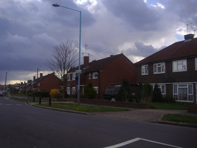
Whitton Dene
Introduction
The photograph on this page of Whitton Dene by David Howard as part of the Geograph project.
The Geograph project started in 2005 with the aim of publishing, organising and preserving representative images for every square kilometre of Great Britain, Ireland and the Isle of Man.
There are currently over 7.5m images from over 14,400 individuals and you can help contribute to the project by visiting https://www.geograph.org.uk

Image: © David Howard Taken: 27 Apr 2013
Whitton Dene is one of the too-many British roads of a T shape or more complex. The mini-roundabout is at the first junction of the left turn, still called Whitton Dene, and followed shortly by a second left turn of the same name which joins the other in a Y shape and continues on. The known record was Tracey Street in Southwark which was in four different sections, but was renamed in around the 1990s.

