Duncryne Road
Introduction
The photograph on this page of Duncryne Road by Lairich Rig as part of the Geograph project.
The Geograph project started in 2005 with the aim of publishing, organising and preserving representative images for every square kilometre of Great Britain, Ireland and the Isle of Man.

There are currently over 7.5m images from over 14,400 individuals and you can help contribute to the project by visiting https://www.geograph.org.uk
Duncryne Road
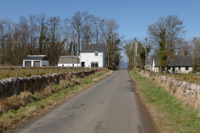
Image: © Lairich Rig Taken: 19 Apr 2013
As depicted on the first-edition OS map, which was surveyed in 1860, there were quarries on both sides of the road, their near edges being roughly where the houses shown in this picture now stand. The house to the left of the road is called Quarry Cottage. A building was depicted as standing in about the same place on the first-edition map, when the quarries were still in use; that may be why the name of that house, in particular, recalls their former presence.
Images are licensed for reuse under creativecommons.org/licenses/by-sa/2.0
Image Location
Latitude
56.040708
Longitude
-4.521464