Sky Blue information plaque
Introduction
The photograph on this page of Sky Blue information plaque by Phil Williams as part of the Geograph project.
The Geograph project started in 2005 with the aim of publishing, organising and preserving representative images for every square kilometre of Great Britain, Ireland and the Isle of Man.

There are currently over 7.5m images from over 14,400 individuals and you can help contribute to the project by visiting https://www.geograph.org.uk
Sky Blue information plaque
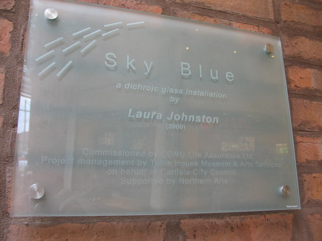
Image: © Phil Williams Taken: 15 Feb 2007
A detail view of the information plaque near the Sky Blue installation within the Lanes shopping precinct.
Images are licensed for reuse under creativecommons.org/licenses/by-sa/2.0
Image Location
Latitude
54.896037
Longitude
-2.93394