River Ver water meadows
Introduction
The photograph on this page of River Ver water meadows by Ian Capper as part of the Geograph project.
The Geograph project started in 2005 with the aim of publishing, organising and preserving representative images for every square kilometre of Great Britain, Ireland and the Isle of Man.

There are currently over 7.5m images from over 14,400 individuals and you can help contribute to the project by visiting https://www.geograph.org.uk
River Ver water meadows
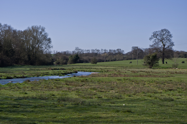
Image: © Ian Capper Taken: 20 Apr 2013
An uncharacteristically high River Ver (a wet 2012 led to high levels of water in the chalk aquifer from which the river rises) crosses the water meadows below Cottonmill Lane.
Images are licensed for reuse under creativecommons.org/licenses/by-sa/2.0
Image Location
Latitude
51.735231
Longitude
-0.32952